Groundwater seeps are the region where contaminated groundwater emerges to the surface, which is often one of the major ecological and human health risk pathways. In this task, we develop a comprehensive strategy that takes advantage of state-of-art spatially integrative techniques–such as geophysics or UAVs–for monitoring groundwater and wetland regions.
UAV-based gamma-ray detection or imaging technologies have been rapidly developed over the past seven years, enabling the reconstruction and fusion of gamma-ray activities with visual information in 3-D. Thermal cameras are increasingly used to map locations of groundwater seep zones and river-groundwater interactions. We aim to couple these surface methodology with geophysical methods for capturing plume dynamics and contaminant mobility in this critical interface.
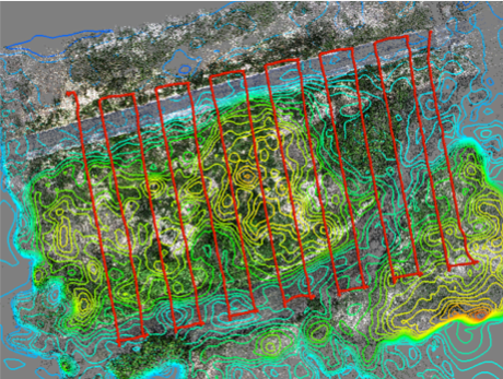
UAV-based radionuclide contamination (gamma elements) mapping. Demonstration was done in the Fukushima region.
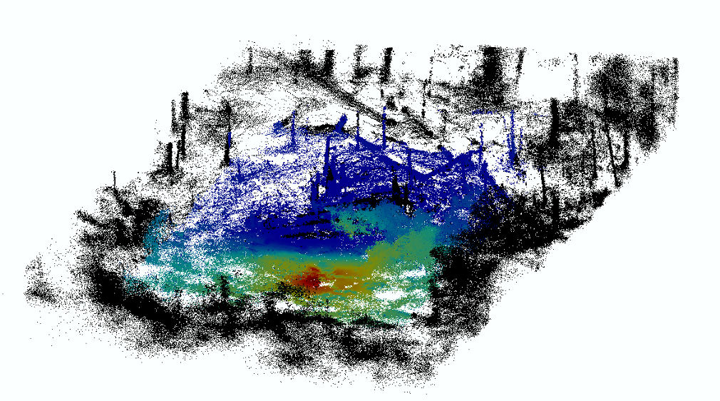
3D mapping of radionuclide contamination at the SRS F Area. The red area is near the seep line and has higher levels of contamination.